 Sale!
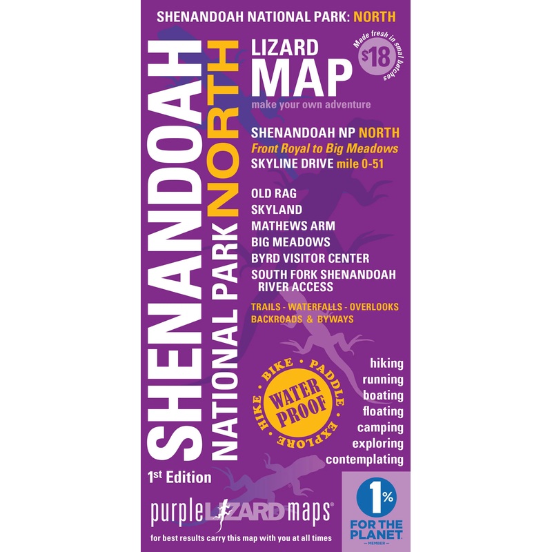
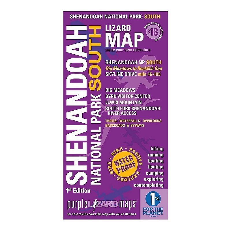
Sale! Purple Lizard Maps – Shenandoah National Park North
$14.40 $18.00
You won’t miss a thing when you explore Shenandoah with Purple Lizard Maps. Perfect for road trippers,hikers, backpackers, carcampers, day trippers and wanderers!
These are the most comprehensive, detailed, high quality, easy to read topographic maps available of this stunning landscape. Covering Shenandoah National Park from Front Royal to Waynesboro and Crozet, including all the hiking trails in the National Park, South Fork Shenandoah River, Page Valley and Shenandoah Valley.
This area is far too big and has way too many fantastic outdoor recreation choices to do it justice with one map – we designed two maps at a detailed scale so you can make your best adventures.
We spent weeks in and around Shenandoah Valley and the National Park researching, field checking, hiking, driving and constantly refining the design to bring you an amazing set of maps to unlock this magnificent landscape. The Shenandoah Lizard maps will show you Shenandoah’s backroads, trails, vistas, waterfalls and special spots.
| Cost: | $25 |
| Free Shipping: | We offer free shipping on orders over $30. Please check the free - shipping eligibility at checkout. |
| Delivery Time: | It usually takes [3-5] business days for standard shipping. Please note that this is an estimated time frame and may be affected by local holidays, and unforeseen circumstances. |
Reviews
There are no reviews yet.