 Sale!
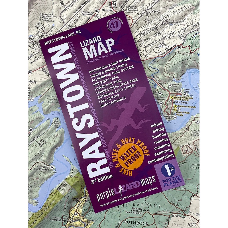
Sale! Purple Lizard Maps – Raystown
$13.60 $17.00
THE RAYSTOWN LIZARD MAP WILL HELP YOU PLAN ALL YOUR ADVENTURES ON AND AROUND RAYSTOWN LAKE. IN ADDITION TO BOASTING ONE OF THE MOST ACTION PACKED RECREATIONAL LAKES IN THE REGION, RAYSTOWN HAS ONE OF THE BEST MOUNTAIN BIKE TRAIL SYSTEMS IN NORTH AMERICA.
A beautifully designed, easy to read topographic map featuring contour lines, elevation data, shaded relief, lake depths, lake navigation markers, and all the key details you need to plan your adventures: backroads and trails, trail use designations, road surfaces (paved/gravel/4wd), parking access, campsites, public lands, historic sites and more.
Lizard Maps are durable, waterproof, and give you the big picture the map opens to 24 x 36 and folds easily to 4 x 8 to fit in your back pocket. The Raystown Lizard Map covers all of Raystown Lake on one side, the scale is 1:45,135 (1 inch = 0.7 mile). A detailed map of the Allegrippis Trail System and Trough Creek State Park is on the other side, the scale is 1:22,588 (1 inch = 0.4 mile). Includes both lat./lon. and UTM coordinate systems.
| Cost: | $25 |
| Free Shipping: | We offer free shipping on orders over $30. Please check the free - shipping eligibility at checkout. |
| Delivery Time: | It usually takes [3-5] business days for standard shipping. Please note that this is an estimated time frame and may be affected by local holidays, and unforeseen circumstances. |
Reviews
There are no reviews yet.