 Sale!
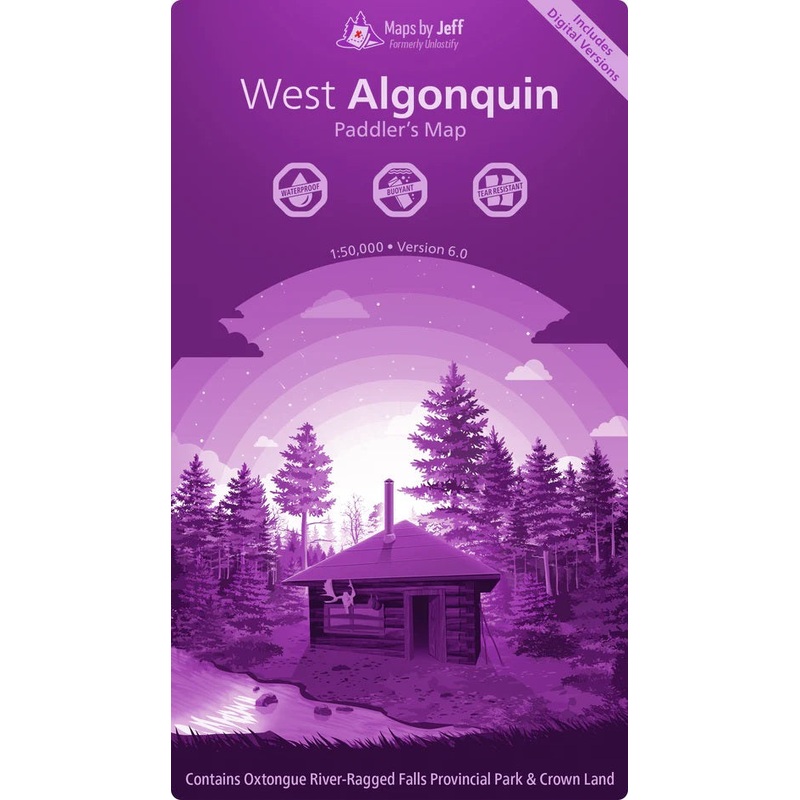
Sale! Maps by Jeff West Algonquin
$19.96 $24.95
- Description
- Map Features
- Waterproof, buoyant, and tear resistant is just the tip of the iceberg when it comes to the features of Maps by Jeff.
- Double Sided
- Scale: 1:50,000
Portage Elevation Profiles:
At least this portage is short. Famous last words. It turns out that the hardest portages arent always the longest ones theyre the ones with a mountain or two in the middle. Now, thanks to the portage elevation proles, youll know where the hills are before you go.
We bet you didn’t know…- About all of the historical logging ruins scattered across Algonquin
- Exactly which fish species you’ll find throughout each lake, river and creek
- Where to find all of the secret unofficial routes that will help you find solitude faster
But now you will – and that’s just the beginning.
“Are we there yet!?”
Setting up your tent at 9pm since *someone* overlooked the seemingly endless number of twists & turns on the Tim River is…no fun. There’s no need to go through that again though. Now, both rookie and expert trippers alike can quickly and easily plan reasonable trips using the travel times printed on the map.This product is made in Canada
| Cost: | $25 |
| Free Shipping: | We offer free shipping on orders over $30. Please check the free - shipping eligibility at checkout. |
| Delivery Time: | It usually takes [3-5] business days for standard shipping. Please note that this is an estimated time frame and may be affected by local holidays, and unforeseen circumstances. |
Reviews
There are no reviews yet.