 Sale!
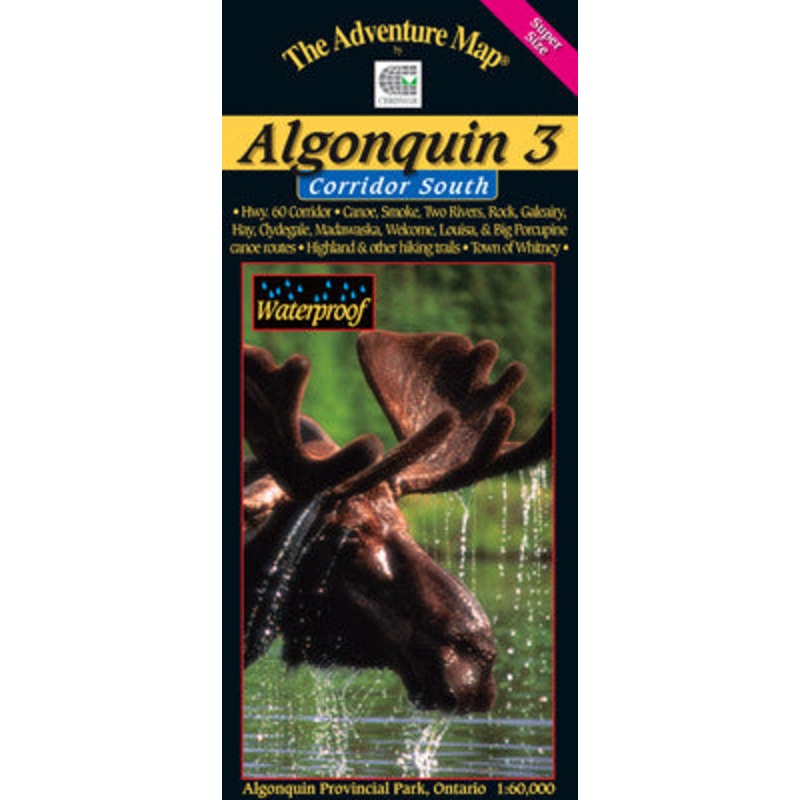
Sale! Chrismar Algonquin 3 Corridor South
$13.56 $16.95
Formally at 1:80,000 scale, this new version has been Super-Sized up to 1:60,000 scale, meaning features are larger and easier than ever to read. It is ideal for paddling the popular canoe routes south of the Highway 60 corridor.
In addition to extra-ordinary terrain and vegetation detail, this map features campsites, portages, access points, hiking trails, facilities like campgrounds, telephones, historic sites and many more attractions. Trails and portages have also been GPS’d over the past few years for greater accuracy than ever before.
The map covers the area from the Town of Whitney in the east to Kawagama Lake outside the park in the west and from Canoe and Opeongo lakes in the north to Hay and Madawaska Lakes in the south. Also shows Dividing Lake P.P. (home of towering old growth white pines) and overlaps with our popular Frost Centre and Algonquin 1-Corridor North maps. As usual it’s waterproof too.
| Cost: | $25 |
| Free Shipping: | We offer free shipping on orders over $30. Please check the free - shipping eligibility at checkout. |
| Delivery Time: | It usually takes [3-5] business days for standard shipping. Please note that this is an estimated time frame and may be affected by local holidays, and unforeseen circumstances. |

Reviews
There are no reviews yet.