 Sale!
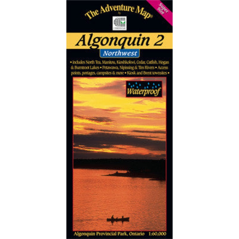
Sale! Chrismar Algonquin 2 Northwest
$13.56 $16.95
Formally at 1:80,000 scale, this new version has been Super-Sized up to 1:60,000 scale, meaning features are larger and easier than ever to read.
The entire Northwest quadrant of Algonquin is covered on this the third in the main Algonquin series. It overlaps the north edge of Algonquin 1-Corridor North and stretches from Kawawaymog Lake outside the west park boundary all the way over to Brent on Cedar Lake.
This map shows much more detail than government topos including campsites, portages, historic features and the incredibly detailed land and waterscape you’ve come to expect from The Adventure Map.
The back side is covered with colour photos and text detailing the natural and human history of the area along with suggested routes, safety tips, contact info and much more. As with other Algonquin maps in our series this one has quickly become the standard for on-the-water navigation. It’s waterproof too.
| Cost: | $25 |
| Free Shipping: | We offer free shipping on orders over $30. Please check the free - shipping eligibility at checkout. |
| Delivery Time: | It usually takes [3-5] business days for standard shipping. Please note that this is an estimated time frame and may be affected by local holidays, and unforeseen circumstances. |
Reviews
There are no reviews yet.