 Sale!
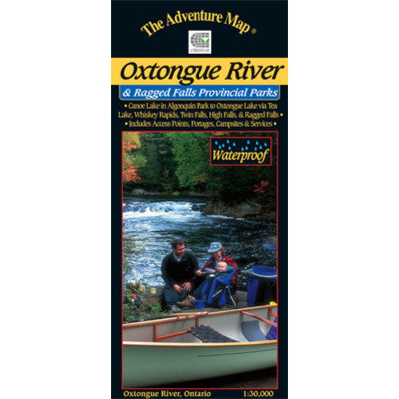
Sale! Chrismar Oxtongue River Map
$7.16 $8.95
This 1:30,000 scale map of the Oxtongue River area covers the river itself from Oxtongue Lake in the west to Canoe and Smoke Lakes in Algonquin Park to the east.
There are several access points and routes to choose from including the Oxtongue River itself (either downstream or upstream), Oxtongue Lake, or the Park Lake to Bluebell Lake section of Algonquin. Highlights along the routes include thundering Ragged Falls, Whiskey Rapids, Twin Falls, and High Falls.
With campsites, portages, access points, rapids, falls, historic features, hiking trails, facilities and lots of other helpful information this map makes an excellent resource for daytrippers and those seeking a short two to three day adventure.
| Cost: | $25 |
| Free Shipping: | We offer free shipping on orders over $30. Please check the free - shipping eligibility at checkout. |
| Delivery Time: | It usually takes [3-5] business days for standard shipping. Please note that this is an estimated time frame and may be affected by local holidays, and unforeseen circumstances. |
Reviews
There are no reviews yet.