 Sale!
Sale! The Massasauga Provincial Park Map
$11.96 $14.95
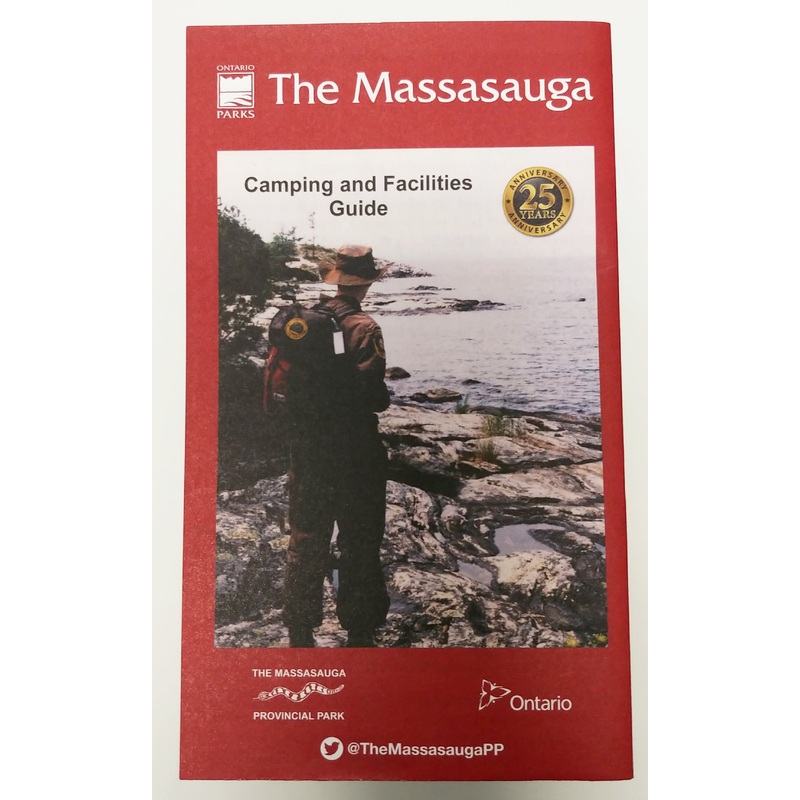
The Massasauga Provincial Park is a 13,050 hectare Natural Environment Park situated along the eastern shoreline of Georgian Bay, south of Parry Sound, Ontario. The Park’s land base includes inland lakes, Moon Island and countless other island groups on the Bay. This unique environment has attracted countless visitors over the years including artists from the Group of Seven. Today, many descendants of these visitors have summer homes in the midst of the park; and they co-exist with visiting boaters, campers, canoeists, kayakers and day visitors.
Map Features include:
- Numbered Campsites
- Portages with approximate distances
- Hiking Trails
- Day Use Sites
- Overnighting Bays for motor and sail boats
- Main and Secondary Channels, Buoys, etc.
- The back of the map also includes information on the geology, vegetation, wildlife, history, use of the park, safety, and GPS coordinates of significant locations, campsites and portages.
| Cost: | $25 |
| Free Shipping: | We offer free shipping on orders over $30. Please check the free - shipping eligibility at checkout. |
| Delivery Time: | It usually takes [3-5] business days for standard shipping. Please note that this is an estimated time frame and may be affected by local holidays, and unforeseen circumstances. |

Reviews
There are no reviews yet.