 Sale!
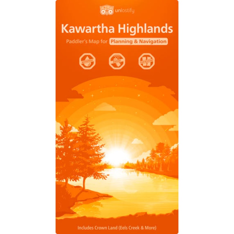
Sale! Unlostify Kawartha Highlands
$15.96 $19.95
- Description
- Map Features
- Unlostify takes maps to the next level. Waterproof, buoyant, and tear resistant is just the tip of the iceberg when it comes to Unlostify features. Unlostify maps are double-sided to give you a planning map and a trip map both jam-packed with features.
The planning map has points of interest with star ratings, seclusion guides, difficulty levels, and trip suggestions for beginners. The access points are also detailed with information such as, which ones offer canoe rentals or have additional fees, etc. You can even use whiteboard markers to write or draw directly on the map to help plan out your trip!
Once you’ve planned out your route, flip the map over to the trip map. This side is complete with topography, campsite and portage locations, trails, difficulty levels, points of interest, time estimates, and “Owl Vision” boxes, which zoom in to show more navigation details.
This Unlostify map features the entire Kawartha Highlands Provincial Park, surrounding Crown Land, and even some of Petroglyphs Provincial Park at a scale of 1:45 000 (trip map).
This product is made in Canada
-
Planning Map Specific Features:
| Cost: | $25 |
| Free Shipping: | We offer free shipping on orders over $30. Please check the free - shipping eligibility at checkout. |
| Delivery Time: | It usually takes [3-5] business days for standard shipping. Please note that this is an estimated time frame and may be affected by local holidays, and unforeseen circumstances. |
Reviews
There are no reviews yet.